

New York 1728, Bradford Map
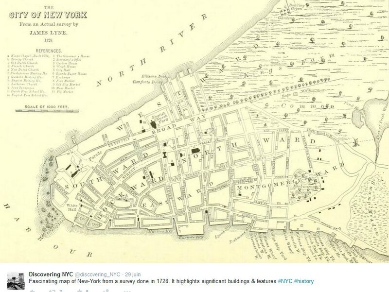
Twitter, 29.06.2015
http://twitter.com/discovering_NYC/status/615610450621796352
- Etude de ce plan en 3 pages in
Manhattan in Maps 1527-2014, Paul E Cohen, Robert T. Augustyn
William Bradford édite The New York Gazette à partir de 1725.
La population a doublé entre 1695 et 1731 ; elle atteint 8 600 habitants.
The Montgomery ward est ajouté aux six wards déjà existants.
http://tinyurl.com/p9v35ba
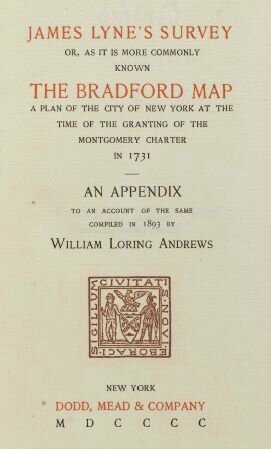
- James Lyne's survey or, as it is more commonly known the Bradford map
a plan of the city of New York at the time of the granting of the Montgomery charter in 1731
an appendix to an account of the same compiled in 1893 by William Loring Andrews
http://www.columbia.edu/cu/lweb/digital/collections/cul/texts/ldpd_6219554_000/ldpd_6219554_000.pdf
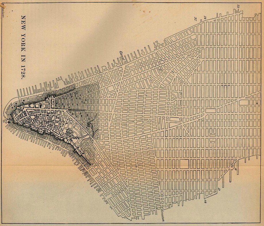
New York City 1728 [Map overlays streets as of 1880]
New York Historic Maps, PCL Library
http://www.lib.utexas.edu/maps/new_york.html
Old maps of Manhattan, New York City, Commons
http://commons.wikimedia.org/wiki/Category:Old_maps_of_Manhattan,_New_York_City
http://tinyurl.com/co-ny-oldmaps
David Rumsey Map Collection
New York historical maps
http://www.davidrumsey.com/NYC.htm
Images of New York
http://www.davidrumsey.com/luna/servlet/view/all/where/New+York
www-vl: history : USA : New York City
http://vlib.iue.it/history/USA/urban/nyc.html
Plan of New Amsterdam 1660
New York City and Environs 1642
George Washington's Battle Engagements 1776
New York and Brookly, ca. 1850, Library of Congress
New York in 1873, Library of Congress
Panoramic Map of New York City in 1900
1695 Miller Plan of New York
http://commons.wikimedia.org/wiki/File:EB9_New_York_-_New_York_City_in_1695.jpg
View of New York Harbor, ca. 1770
http://en.wikipedia.org/wiki/History_of_New_York_City
http://en.wikipedia.org/wiki/Portal:New_York_City

Manhattan en 1776
http://en.wikipedia.org/wiki/Bowery#/media/File:NYC1776.jpg
Boston Public Library : http://maps.bpl.org/id/14193
http://en.wikipedia.org/wiki/Bowery
Modern redrawing of 1807 version of Commissioner's Grid plan for Manhattan, a few years before 1811 adoption.
http://en.wikipedia.org/wiki/Commissioners%27_Plan_of_1811
http://en.wikipedia.org/wiki/Manhattan#History
Norman Friend. Sidney's Map Twelve Miles Around New York, 1849
http://en.wikipedia.org/wiki/History_of_New_York_City
The "Sanitary & Topographical Map of the City and Island of New York",
commonly known as the Viele Map, was created by Egbert Ludovicus Viele in 1865
http://en.wikipedia.org/wiki/Egbert_Ludovicus_Viele
.


/http%3A%2F%2Fstorage.canalblog.com%2F54%2F85%2F161889%2F130176308_o.jpg)
/http%3A%2F%2Fstorage.canalblog.com%2F73%2F99%2F161889%2F128345113_o.jpg)
/http%3A%2F%2Fstorage.canalblog.com%2F49%2F92%2F161889%2F113568209_o.jpg)
/http%3A%2F%2Fstorage.canalblog.com%2F91%2F33%2F161889%2F112972026_o.jpg)
/https%3A%2F%2Fstorage.canalblog.com%2F02%2F17%2F161889%2F117651881_o.jpg)
/https%3A%2F%2Fstorage.canalblog.com%2F19%2F63%2F161889%2F117610470_o.jpg)